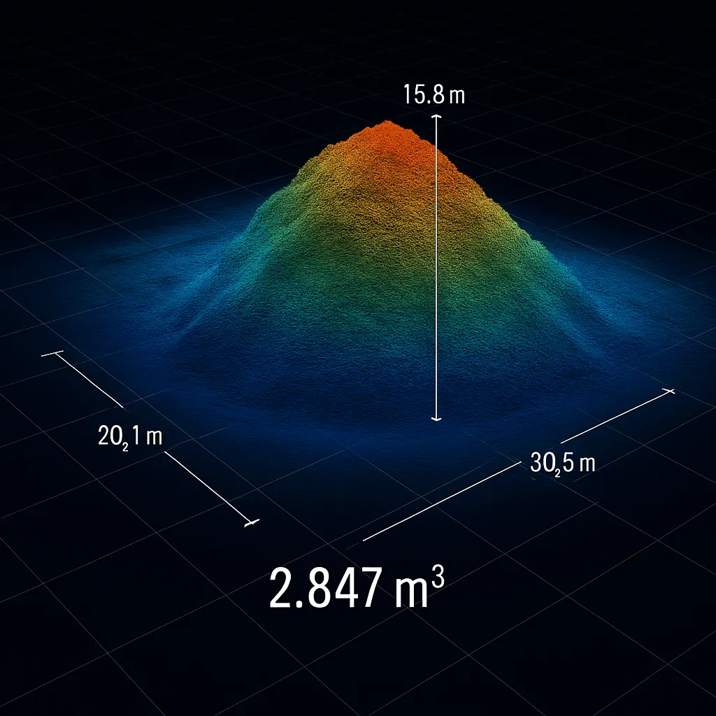
Accurate existing ground levels, captured from the air.
CAD-ready ground surfaces, contours and classified point clouds for design, consent and earthworks, delivered as DXF TIN, LandXML, LAS, 3D mesh and DEM.
Ground data your design team can open in their own software.
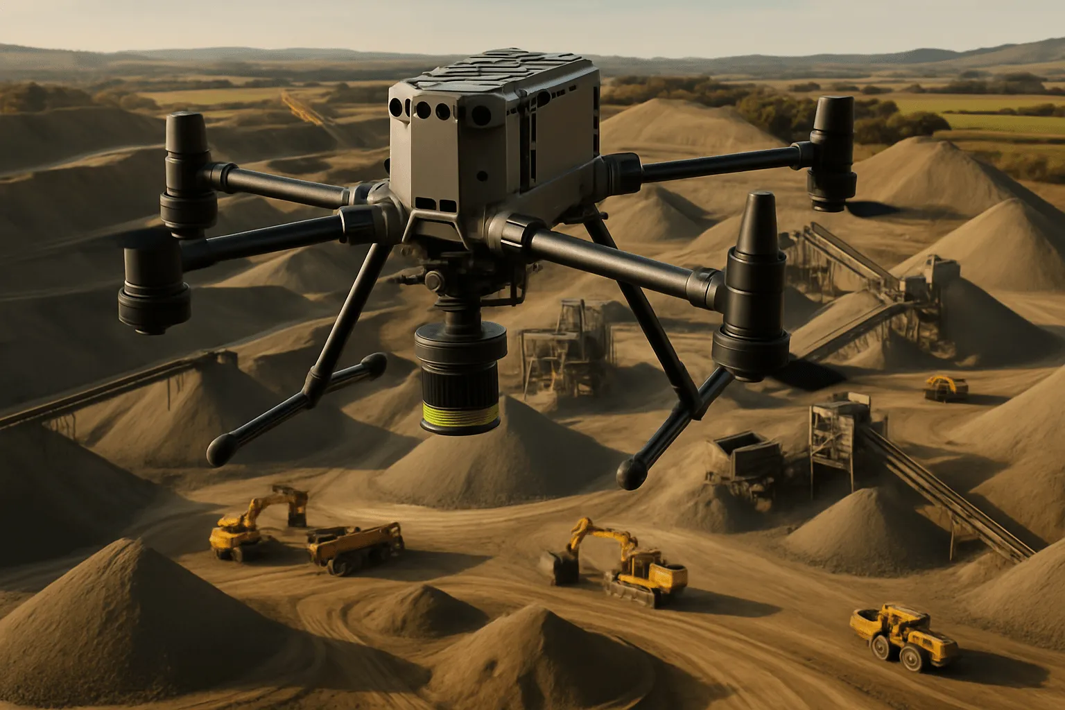
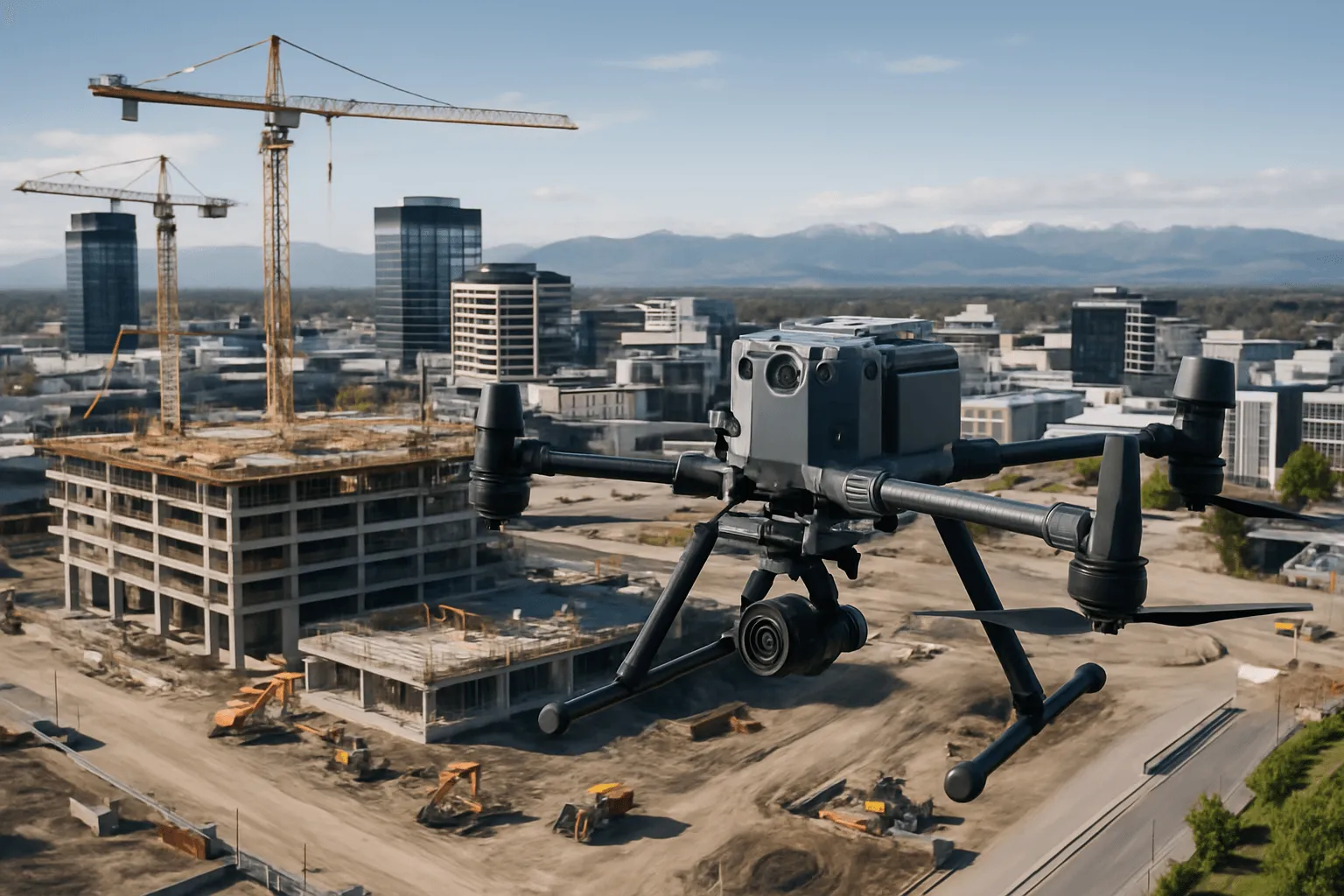
When a design team needs to know what the ground looks like today, the answer has to arrive as data they can use. We capture your site with a DJI Matrice 350 RTK carrying a Zenmuse L2 LiDAR sensor, tie it to surveyed ground control, and deliver a classified point cloud and bare-earth terrain surface. A typical site is flown in a few hours. Demolition yards, construction sites, vegetated slopes, culverts and water races that would take a survey crew days to walk are captured in one visit, with thousands of ground points per square metre, and nobody needs to step on unstable or unsafe ground.
What we offer
01
Existing ground surveys for design
A bare-earth surface and contours of your site as it stands today, for architects, engineers and developers starting concept or detailed design. Built from a ground-classified point cloud, not interpolated from a handful of spot levels.
02
Demolition, brownfield & construction sites
Reliable levels on sites cluttered with plant, stockpiles, slabs and debris. Vehicles and moving plant are excluded from the ground surface, and existing slabs or foundations can be modelled separately so your design surface isn't distorted.
03
Earthworks baselines & cut-and-fill
A dated baseline surface to measure progress and volumes against. Repeat surveys at agreed intervals give comparable surfaces for progress claims, verification and as-built records.
04
Resource consent & engineering support
Contours, levels and site models to support the topographic information councils typically require for earthworks, subdivision and development applications. Final plans for lodgement remain the responsibility of your surveyor or engineer.
05
Drainage, stormwater & flood modelling
DEM and TIN surfaces for catchment and overland flow modelling, with the ground separated from buildings, vehicles and vegetation.
06
Vegetated, steep & hard-to-access sites
LiDAR returns reach the ground between leaves and branches, so slopes, bush edges and overgrown sections can be mapped where survey crews would take days to get access.
How accurate is a drone LiDAR topographic survey?
We don't ask you to take accuracy on trust. Every survey is tied to independently surveyed ground control and checked against points that weren't used in the correction.
RTK positioning. The aircraft flies with RTK and PPK corrections, so the point cloud is positioned to centimetre level before control is applied.
Ground control. Surveyed marks on your site tie the dataset to the survey coordinate system.
Independent check points. Separate surveyed marks, never used in the correction, are compared against the final surface and reported to you.
Ground classification review. Automated classification is followed by manual review of edges, culverts, stockpile faces and steep mounds, so the surface follows the real ground.
Example result: a recent Christchurch construction site
The LiDAR dataset was tied to three surveyed control points, then checked against two independent check points that weren't used in the correction.
Points
Count
Average difference
Maximum difference
RMSE
Control points (used to correct the dataset)
3
0.008 m
0.013 m
0.013 m
Check points (independent, not used in the correction)
2
0.024 m
0.040 m
0.033 m
This is a single site with a small number of check points, so treat it as an indicative result rather than a guarantee. Results vary with vegetation, surface type and the control available, and every survey we deliver includes its own accuracy statement. Read the full case study →
What you receive
Deliverable
Format
What it's for
Classified point cloud
LAS 1.4 (LAZ on request)
Full-site point cloud with ground and non-ground separated. The base dataset for any further analysis
Ground terrain surface (TIN)
DXF and LandXML (.xml)
Triangulated bare-earth surface for CAD design, cut-and-fill and long sections
Contours
DXF
Existing-ground contours at your chosen interval (0.25 m, 0.5 m, 1 m or 2 m)
Digital elevation model (DEM)
GeoTIFF
Gridded ground surface for GIS, drainage and flood modelling
Gridded points
CSV / DXF
Regular grid of ground levels for earthworks and quantity take-offs
Orthomosaic or visual reference model
GeoTIFF / GLB
Optional visual context for design reviews and stakeholders
Accuracy statement
PDF
Control and independent check-point results, coordinate system and method
LiDAR topographic survey or a traditional survey?
Drone LiDAR is the faster, safer choice for large, uneven, vegetated or hazardous sites, and for any project that needs a dense ground surface rather than a sparse set of spot levels. A traditional ground survey is still the right tool for legal boundaries and title work, buried services, building edges and sharp detail such as kerbs and inverts.
Many projects use both. We can supply a LiDAR surface and point cloud for your surveyor to supplement, or work alongside your surveyor on the same control. For a cadastral or boundary survey you'll need a licensed cadastral surveyor, and we're happy to work alongside them.
For ongoing projects, repeat surveys give you comparable surfaces for progress claims based on volume or area, helping you validate contractor work and keep transparent project records.
Where we work
Based in Christchurch, we survey across Canterbury and the whole South Island, and travel to Auckland, Wellington and the wider North Island for projects. If your site is outside the South Island, send us the address and deliverables, and we'll confirm scope, timing and travel in the quote.
How it works
A clear process, start to finish.
01
Brief & control
We confirm the area, deliverables, contour interval, coordinate system and exclusions. Surveyed control is used or established on site, and we complete CAA Part 102 planning, hazard assessment and notifications.
02
LiDAR capture
The M350 RTK flies a planned, overlapping pattern at a fixed height above ground. A typical site is captured in one visit, working around plant and construction activity.
03
Processing & classification
The point cloud is tied to control and classified into ground and non-ground. Problem areas are reviewed manually before the TIN, contours and DEM are built from verified ground points.
04
Delivery & support
You receive your files, the accuracy statement and, if requested, a web viewer link. We stay available to help your engineer or surveyor load, check and use the data.
What you receive
Deliverables you can act on.
Classified point cloud (LAS 1.4, LAZ on request)
Ground terrain surface / TIN (DXF and LandXML)
Contours at 0.25 m, 0.5 m, 1 m or 2 m (DXF)
Digital elevation model (GeoTIFF)
Gridded ground points (CSV / DXF)
Orthomosaic or visual reference model (optional)
Written accuracy statement (PDF)
Why Drones At Work
Verified accuracy
Control points, independent check points and a written accuracy statement come with every survey, so you know what the data can and cannot support.
Fast, safe capture
Sites that need days on foot are captured in hours, with no one on unstable slopes, open excavations or active plant areas.
CAA Part 102, NZ-wide
Based in Christchurch, serving the South Island, North Island and beyond, with RTK-equipped aircraft and the same data standard on every job.
Built for design teams
We deliver the formats your software expects, and ask what you'll do with the data before we fly. Our background is in construction, quantity surveying and loss adjustment.
Who it’s for
Who we do this for
Civil & structural engineers
Existing-ground surfaces for design, earthworks and drainage, as DXF TIN, LandXML and contours that load straight into CAD.
Architects & developers
Site models and levels for concept design, feasibility and consent, before you commit to a design.
Quantity surveyors & valuers
Baseline surfaces and quantities for progress claims and reporting, with repeat surveys to measure change.
Land surveyors
A fast LiDAR surface and classified point cloud to support your own survey, tied to the same control.
Councils, asset owners & landowners
Terrain data for planning, drainage and site assessment across large or hard-to-access land.
Main & earthworks contractors
Baselines, progress surfaces and as-built verification, captured without stopping work on site.
A drone LiDAR topographic survey of a Christchurch construction site, tied to three surveyed control points and checked against two independent points. Here are the real accuracy numbers, and what they mean.
Read article
FAQ
Frequently asked questions
What is a LiDAR topographic survey?
A drone-mounted laser scanner measures millions of points across your site. We tie them to surveyed ground control, separate the ground from buildings, vehicles and vegetation, and build a bare-earth surface, contours and elevation model from the verified ground points.
What file formats do you deliver?
Classified point cloud as LAS 1.4 (LAZ on request), TIN surface as DXF and LandXML, contours as DXF, DEM as GeoTIFF, gridded points as CSV or DXF, optional orthomosaic or GLB model, and a PDF accuracy statement.
Will the TIN work in Civil 3D, 12d or other CAD software?
Yes. We deliver DXF and LandXML surfaces for CAD and GIS packages such as Civil 3D, 12d and QGIS, and help your team load and check them.
Can LiDAR see the ground through trees and vegetation?
Often, yes. Laser returns reach the ground between leaves and branches. Accuracy under dense low scrub, long grass, ponded water and very reflective surfaces is lower than on open hard ground, and we flag those areas in the accuracy statement.
How accurate is a drone LiDAR survey?
Every survey is tied to surveyed control and checked against independent points not used in the correction. On a recent Christchurch construction site the check-point RMSE was 0.033 m. Results vary by site, so each survey comes with its own accuracy statement.
Is this a replacement for a cadastral or boundary survey?
No. LiDAR doesn't locate legal boundaries or buried services. You'll need a licensed cadastral surveyor for boundary and title work, and we're happy to work alongside them on the same control.
Can you survey a site that is still active?
Yes. We plan around operating plant and construction activity, and moving vehicles and plant are removed from the ground surface during processing.
How much does a drone topographic survey cost?
It depends on the site area, vegetation, deliverables and control required. Send us the address and what you need, and we'll come back with a fixed quote.
How long does it take?
A typical site is flown in a few hours in a single visit. Processing time depends on site size and deliverables, and we'll confirm timing in your quote.