
LiDAR Walkthroughs
Photorealistic 3D spaces your clients can explore.
LiDAR-grounded 3D Gaussian Splatting walkthroughs that are fully interactive and, unlike standard virtual tours, dimensionally accurate. No plugins required.
Spatial Intelligence
How this compares to Matterport
Matterport jumps between fixed 360° photos, and reflective surfaces like chrome, glass and mirrors produce artefacts. Our walkthroughs build the geometric skeleton with LiDAR first, then drape photorealistic splats around it. You can move freely from any angle and measure directly in the 3D space.
How it works
A clear process, start to finish.
- 01
Scan
We walk the space with the Lixel K2, typically 1–3 hours for most commercial spaces.
- 02
Process
The 3DGS model is generated in LCC Studio around the LiDAR geometry.
- 03
Deliver
A shareable web link, plus an optional Full HD flythrough video for web and social.
What you receive
Deliverables you can act on.
- Shareable browser-based 3D walkthrough link
- Optional animated flythrough video (Full HD MP4)
- Measurement-accurate geometry
Why Drones At Work
Handles reflective spaces
Mirrors, chrome and glass render naturally.
Free movement
Explore from any angle, not just fixed hotspots.
Measurable
Backed by LiDAR, so distances and heights are real.
Who it’s for
Who we do this for
Gyms & fitness studios
Mirror walls and cable machines are where photo tours fail. Ours don't.
Showrooms
Automotive, furniture and retail floors explored with accurate scale.
Hospitality & venues
Show table spacing, room flow and atmosphere before guests book.
Commercial real estate
Tenants assess fit-out feasibility and ceiling heights remotely.
Medical & dental
Reduce new-patient anxiety with a walk through the practice.
Related services
Often combined with
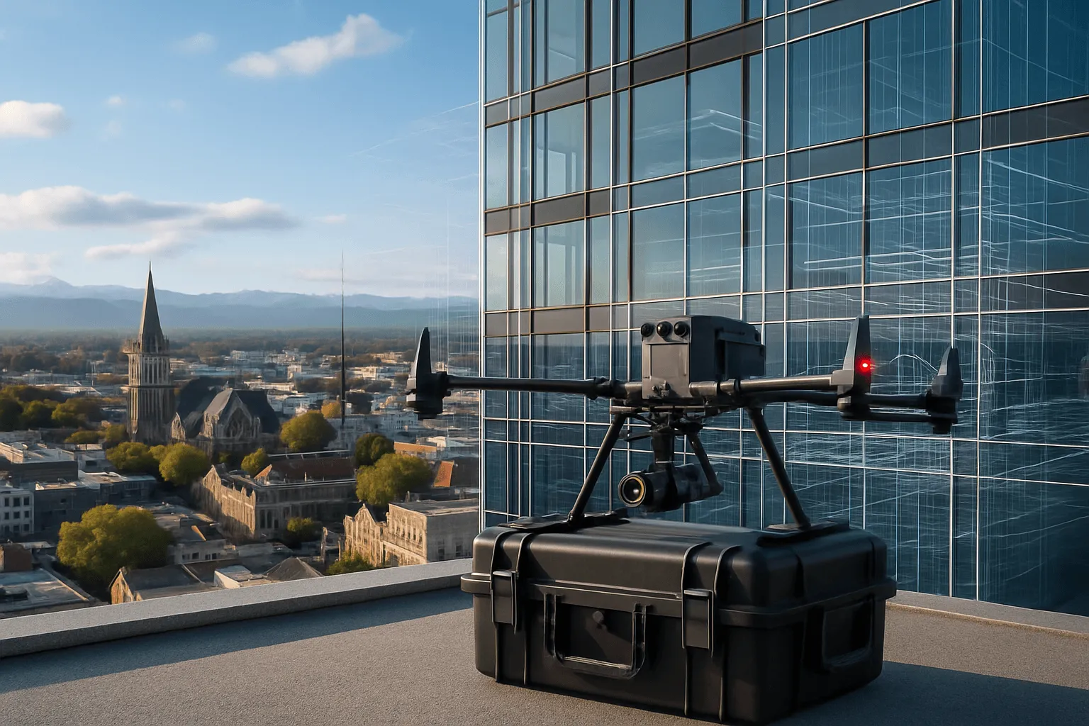
Digital Twins & Building Intelligence
Complete exterior-to-interior 3D replicas of your building, combining aerial drone survey with handheld LiDAR. The foundation for every future decision.
Interior Scanning & Floor Plans
Survey-grade interior scanning for builders, architects, property managers and insurers. Accurate floor plans and 3D models, delivered in hours.
Scan-to-BIM
LiDAR point cloud to BIM-ready model for architects and engineers. As-built documentation for renovation, seismic strengthening and extensions.
Get a free quote
Interested in a LiDAR walkthrough of your space?
We'll discuss your space, your audience and the right deliverable format.
- art@dronesatwork.nz
- Hours
- Monday – Friday, 8am – 6pm Weekend appointments by request
- Based in
- Christchurch, New Zealand Serving the South Island, North Island and beyond