Our Drone Services
Cutting-Edge Technology Delivering Actionable Insights Across New Zealand
Top Quality Images and Video
Your Satisfaction is Guaranteed
Fast Turnaround
35 Years Combined Experience
Precision Drone Solutions for Every Industry
At Drones at Work, we harness the power of advanced drone technology to transform how businesses gather data, inspect assets, and make decisions. Our comprehensive suite of services combines state-of-the-art equipment with specialized expertise to deliver precise, reliable results for projects of any scale. From detailed roof inspections to complex LiDAR surveys, we provide the clarity and accuracy your projects demand.
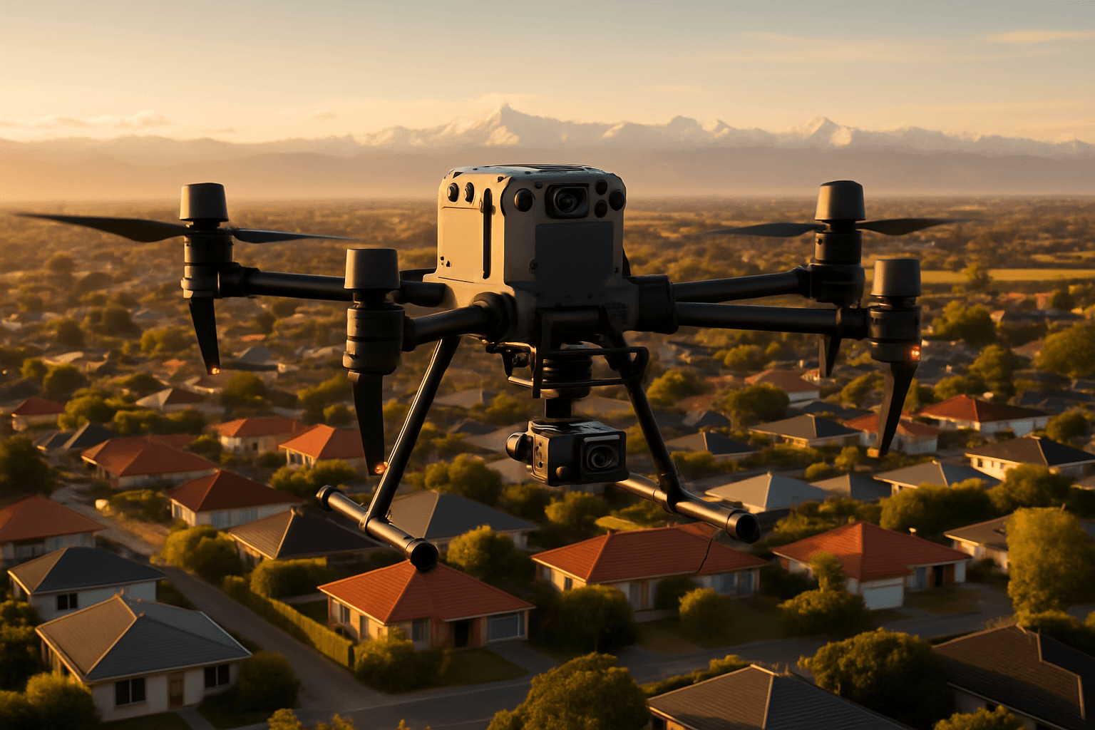
Roof Inspections

Our advanced drone roof inspections combine thermal imaging and LiDAR technology to detect issues invisible to the naked eye. We identify leaks, heat loss, structural concerns, and provide precise measurements—all without the risks of traditional inspection methods. Perfect for property managers, building owners, and insurance assessments.
Thermal Roof Inspection
LiDAR Roof Measurement
Comprehensive Reporting
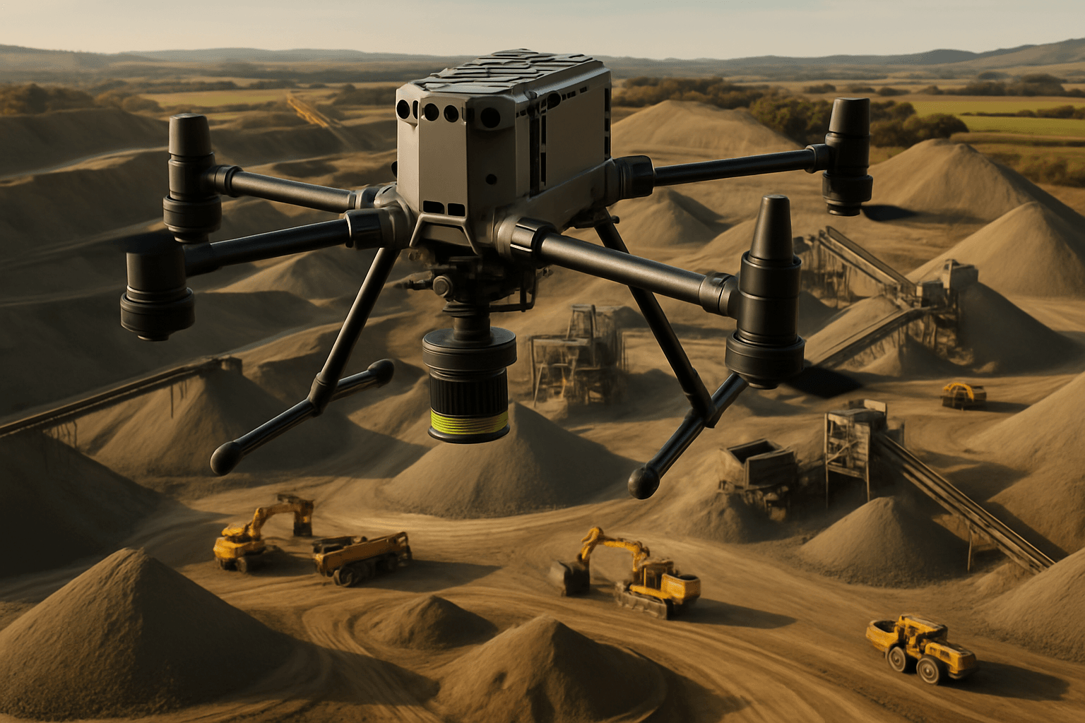
Civil Volumetrics

Transform your civil engineering projects with our precision LiDAR volumetric analysis. We accurately measure stockpiles, road surfaces, and development sites, delivering detailed data for resource management, progress tracking, and planning. Our volumetric services save time and resources while providing unmatched accuracy for quarries, construction sites, and infrastructure projects.
Stockpile Volume Analysis
Road and Infrastructure Measurements
Hill Site Development Surveys
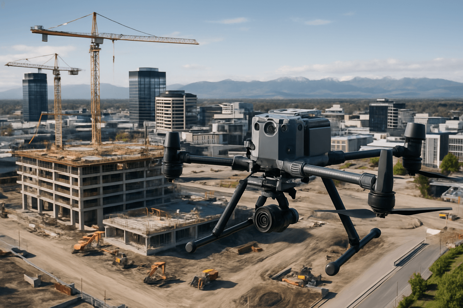
Construction Monitoring

Keep your construction projects on schedule and within budget with our regular progress monitoring services. We create detailed 3D models to verify compliance, track milestones, and compare as-built conditions with design specifications, providing valuable documentation for stakeholders and project managers.
Regular Progress Documentation
LiDAR Measurement and Verification
Orthomosaic Mapping
3D Site Modeling
Comprehensive Reporting
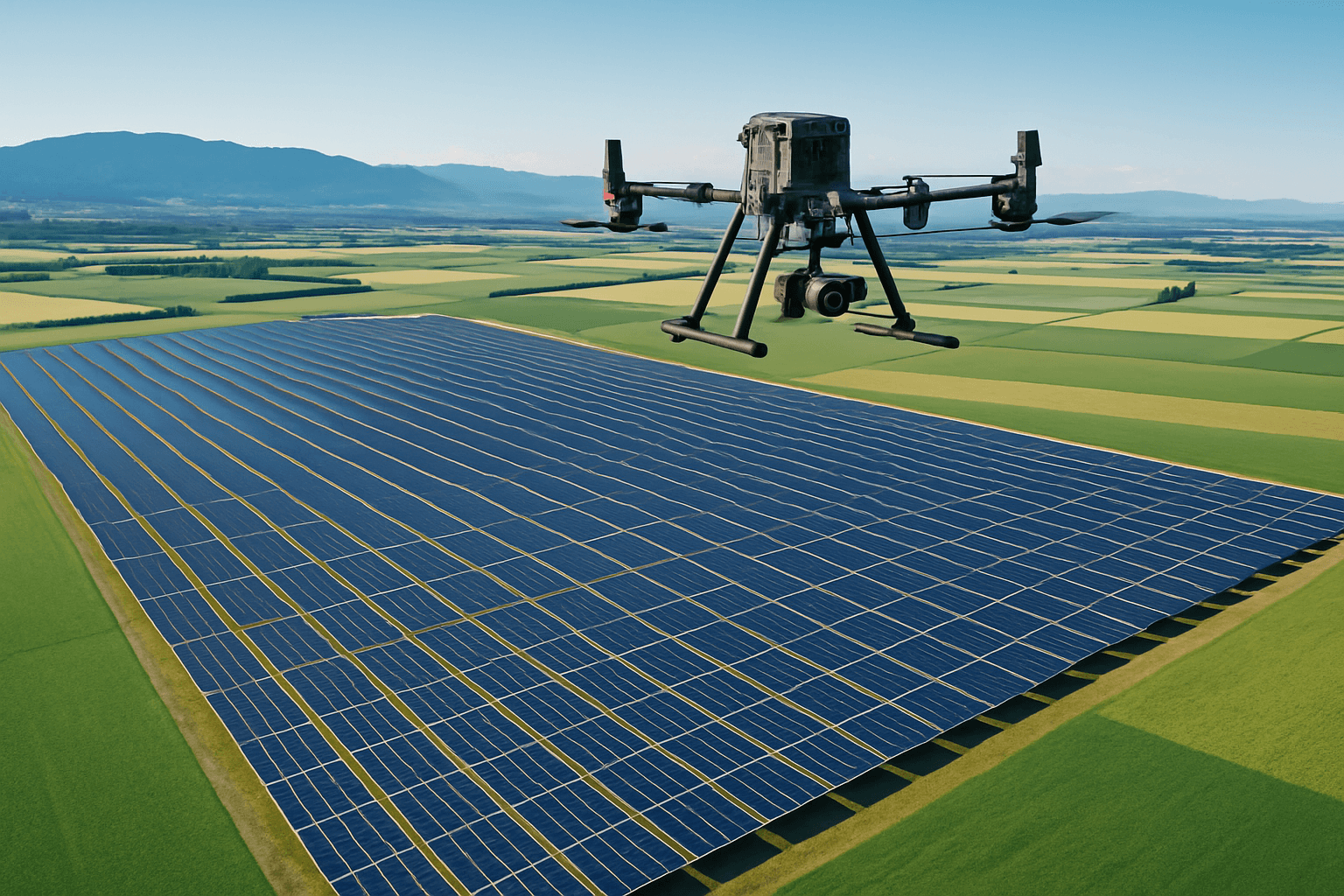
Solar Installation & Inspection

Optimize your solar energy systems with our specialized drone services. We conduct thermal inspections of existing solar panels to identify faulty components and electrical issues, while our LiDAR technology supports precise site planning for new solar installations on both land and rooftops.
Thermal Performance Analysis
Visual Defect Documentation
Comprehensive Reporting
Other Services
Asset & Building Inspections
Ensure the integrity of your critical infrastructure with our comprehensive asset inspection services. From power lines and cell towers to commercial buildings and industrial facilities, our drones safely access hard-to-reach areas, capturing high-resolution imagery, thermal data, and precise measurements to identify maintenance needs before they become costly problems.
Search and Rescue Operations
When time is critical, our thermal drone capabilities provide essential support for search and rescue missions. Using advanced thermal sensors and laser rangefinding technology, we can locate missing persons, pets, or livestock in challenging environments, sharing precise GPS coordinates instantly with ground teams via QR code for rapid response.
Precision Agriculture & Forestry
Optimize your agricultural operations and forestry management with our specialized drone services. We provide detailed topographic mapping, crop health monitoring, irrigation efficiency assessment, and pest infestation detection. For forestry applications, we deliver tree height analysis and canopy density mapping to support sustainable resource management.
Digital Twins & Façade Inspections
Create comprehensive digital representations of your buildings and structures with our digital twin services. We capture detailed façade inspections and precise measurements of building faces and glazing, providing valuable data for maintenance planning, renovation projects, and historical documentation.
Environmental Monitoring
Support conservation efforts and environmental management with our specialized monitoring services. We track wildlife habitats, assess coastal erosion, monitor wetland restoration, and detect invasive species using a combination of high-resolution imagery, thermal data, and LiDAR scanning to provide comprehensive environmental insights.
Disaster Response & Recovery
When disasters strike, our rapid deployment capabilities provide critical data for emergency response and recovery efforts. We assess damage after earthquakes, floods, and landslides, delivering timely information to insurers, engineers, and emergency services to support efficient recovery planning.
Heritage & Archaeological Surveys
Preserve and document historical sites with our non-invasive survey techniques. Our LiDAR technology penetrates vegetation to map archaeological sites with unprecedented detail, while our heritage building surveys provide valuable data for preservation projects and digital archiving.
Our Approach
Every service we provide follows our proven four-step methodology:
1. Consultation & Planning
We begin by understanding your specific needs and objectives, developing a tailored approach for your project.
2. Data Acquisition
Using our advanced drone technology and specialised sensors, we capture comprehensive data with efficiency and precision.
3. Expert Analysis
Our team of specialists analyses the collected data, identifying key insights and actionable information.
4. Detailed Reporting
We deliver clear, comprehensive reports with high-resolution imagery, precise measurements, and practical recommendations.
Equipment & Technology
Our services are powered by industry-leading technology:
DJI M350 RTK Drones
Providing stability, reliability, and precision positioning.
H30T Thermal Sensors
Detecting temperature variations with exceptional sensitivity.
L2 LiDAR Systems
Capturing detailed 3D data with centimeter-level accuracy.
FLIR Handheld Cameras
Offering versatile thermal imaging capabilities.
Custom Payloads
Tailored to meet specific project requirements.
Ready to Get Started?
Contact us today to discuss how our drone services can support your project needs. Our team is ready to provide expert guidance and develop a customized solution for your specific requirements.
Get a free quote
Open Hours
Monday – Friday: 8am – 6pm
Weekend appointments available by request
Office Location
Christchurch, New Zealand
Serving the entire South Island, North Island, and beyond
