Skip to content

Civil Volumetrics

Accurate volume, area and site data, without climbing the pile.

LiDAR drone surveys and handheld scanning that measure stockpiles, roads, earthworks and development sites, delivered as reports, point clouds, 3D models or photorealistic walkthroughs.

Aerial & Site Services

Survey in hours, not days. Report with confidence.

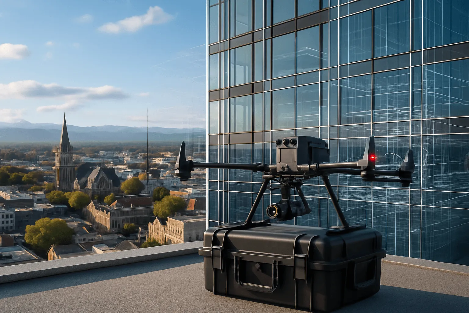
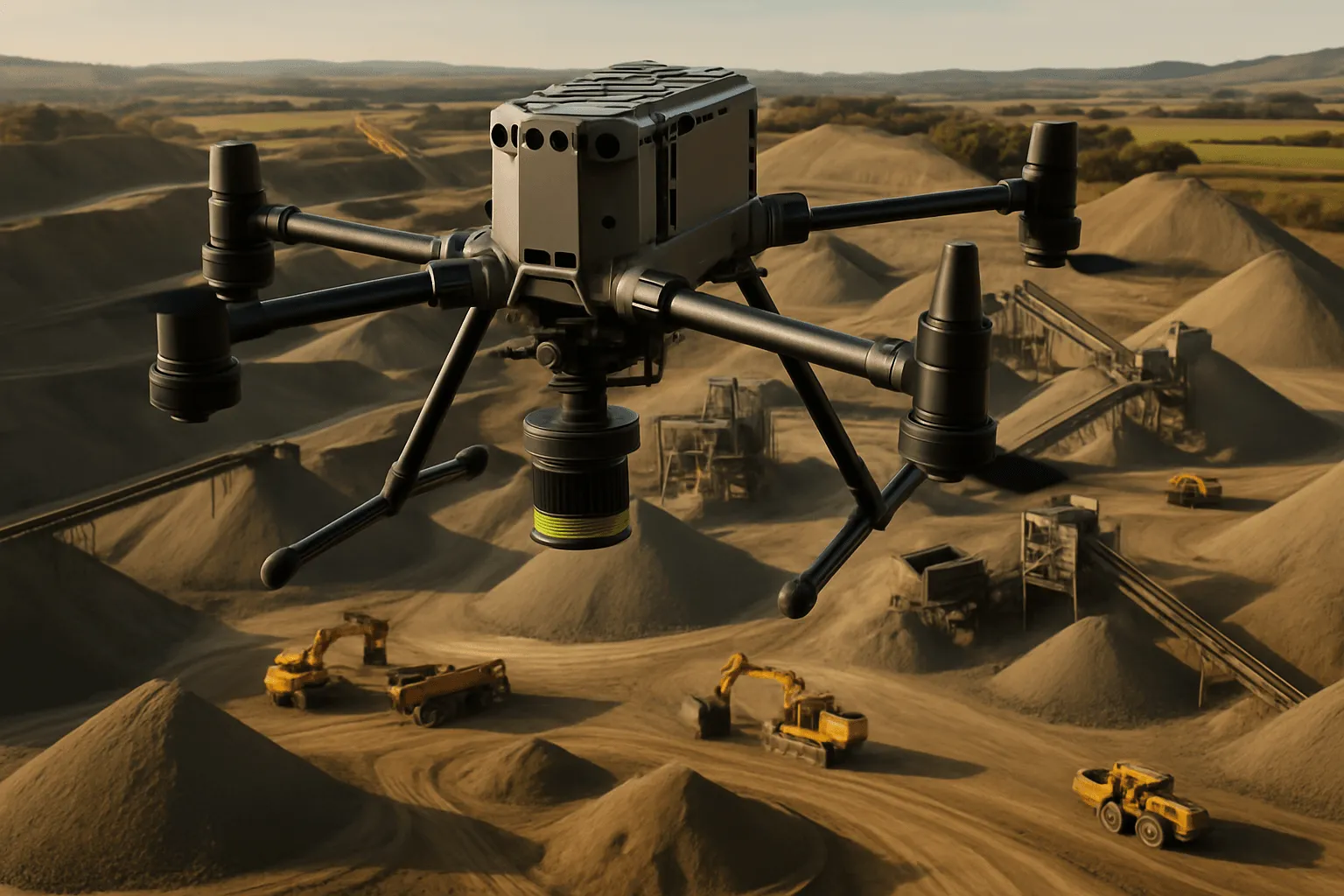
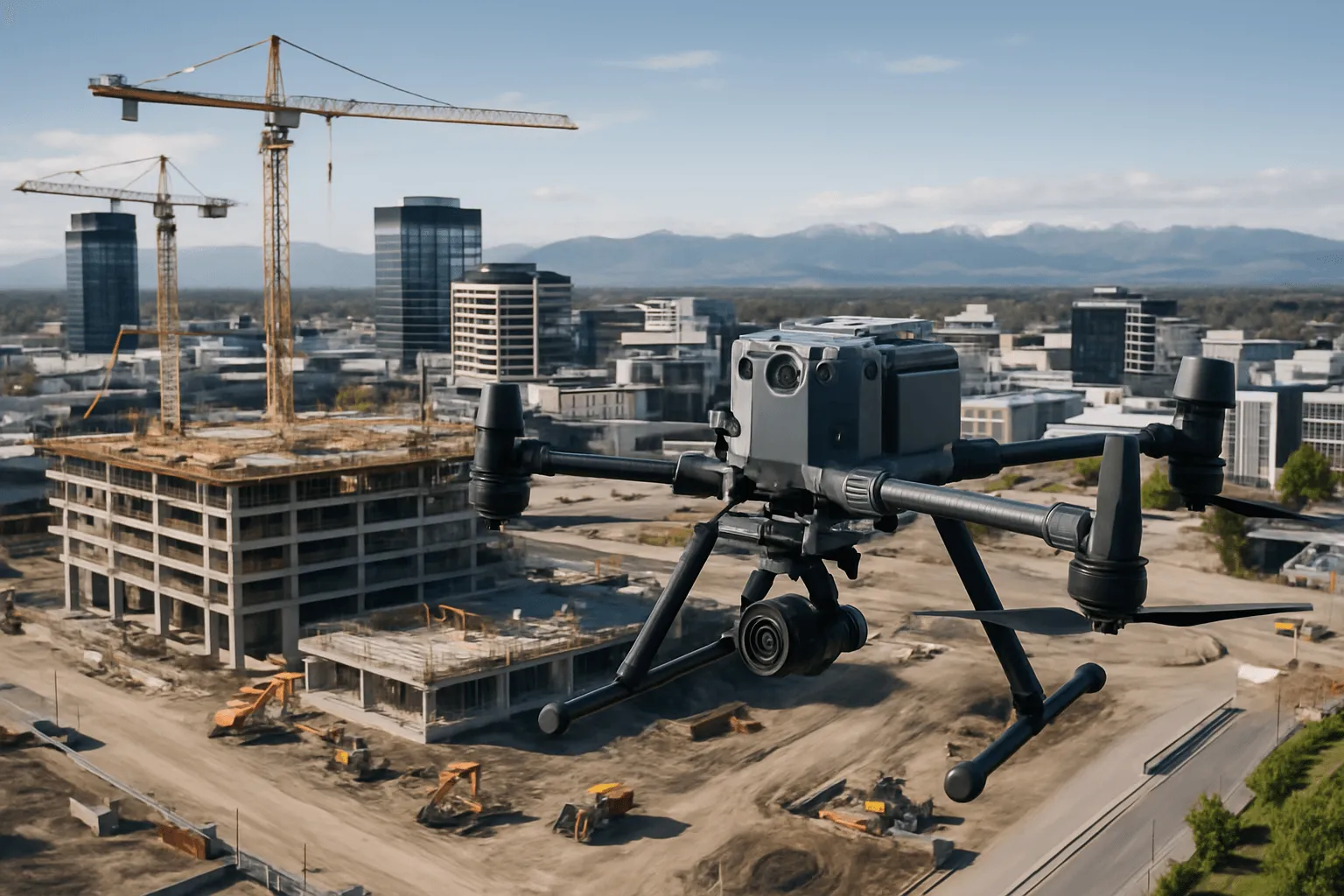
We use the DJI Zenmuse L2 on our M350 RTK platform, plus the Lixel K2 handheld scanner for covered and confined stockpiles. Our background in civil quantity surveying means the output isn't just a point cloud. It's clear, defensible quantities that support inventory, progress claims and financial reporting.

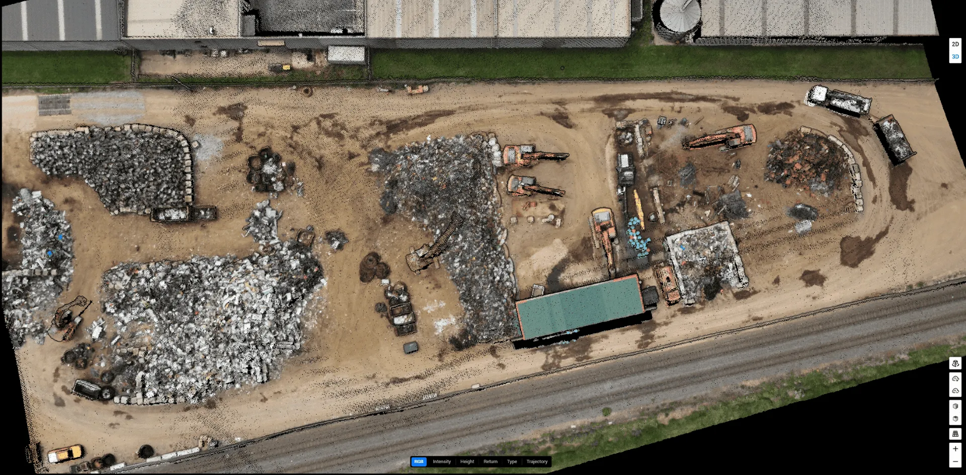
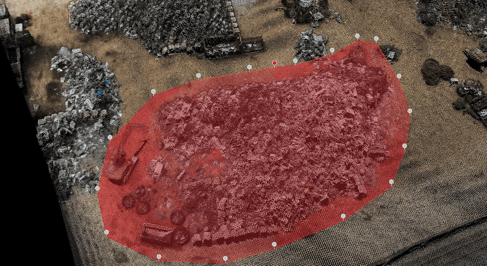
LiDAR stockpile volume measurement with the pile boundary outlined over the point cloud

What we offer

01

Stockpile volume analysis

Dirt, gravel, aggregate, scrap metal and recycling, in open yards, covered sheds or confined bunkers. Irregular, mixed and partially walled piles are a particular strength.

  • Individual pile volumes and site totals
  • Site-specific density for tonnage
  • Repeat surveys for running inventory
02

Road & infrastructure measurement

Areas of road surfaces, footpaths, shoulders and verges for maintenance planning, tenders and progress quantity reports during construction.

  • Schedules of quantities
  • Progress claims verification
03

Hill site development surveys

Topographic data and cut-and-fill volumes compared against design. LiDAR penetrates vegetation to reveal the true ground surface.

  • Cut/fill calculations
  • Design-vs-actual comparison

Three ways to measure what you have

Not all stockpiles are the same. Some are outdoors and easy to fly over. Others sit in sheds, tunnels or bunkers where a drone can't go. Many sites have both.

1. Small accessible stockpiles: same-day with the Lixel K2

For bays, open bunkers and accessible sheds, the handheld K2 captures a complete 3D model in minutes. There's no flight planning, and volumes are often available the same day.

2. Large outdoor yards: aerial LiDAR with the M350 RTK

Quarries, ports and aggregate plants are surveyed in a single flight at centimetre-level accuracy, capturing every stockpile in the yard at once.

3. Hybrid sites: aerial and ground in one visit

The M350 handles the open yard while the K2 scans covered and confined areas. Both datasets are georeferenced to the same coordinate system and merged into one unified inventory report.

How it works

A clear process, start to finish.

  1. 01

    Site assessment

    We understand what you need measured and in what format.

  2. 02

    LiDAR capture

    RTK-positioned aerial and/or handheld scanning collects millions of points across the site.

  3. 03

    Processing

    Ground classification, pile delineation and TIN-based volume calculation.

  4. 04

    Reporting

    Volumes, tonnages, quantities and visualisations, with optional 3D Gaussian Splatting walkthroughs for presentations.

What you receive

Deliverables you can act on.

  • Volumetric report with per-pile volumes and totals
  • Annotated orthomosaic and stockpile visualisations
  • Site-specific density and tonnage calculations
  • Georeferenced point cloud and surface models
  • Full methodology documentation

Why Drones At Work

Within ±2% accuracy

L2 LiDAR with live RTK corrections, against 10–15% typical error for manual methods.

Speed, safely

Whole sites in a single flight. Nobody climbs a pile, and operations keep running.

Quantity surveying expertise

Data translated into quantities you can use for claims and reporting.

Anywhere in NZ

From Christchurch to Stewart Island and beyond.

Who it’s for

Who we do this for

  • Quarries & aggregate suppliers

    Inventory control, production planning and financial reporting.

  • Recycling & waste facilities

    Accurate volumes and weights for mixed, irregular materials.

  • Civil contractors

    Cut/fill, earthworks progress and contractor payment verification.

  • Ports, forestry & rural

    Bulk cargo, wood chip, grain, silage and soil stockpiles.

From the field

Related case studies

More like this

Testimonials

What clients say

Drones at Work provided excellent aerial footage of our steel yard and stock at Resource Recycling Technologies NZ Ltd. Art was a pleasure to deal with and handled everything effortlessly. We will definitely be using them again.

Bernadette Joe

Google review · Resource Recycling Technologies NZ Ltd

Great report with all qualities required for our progress claim for the development site.

Civil Earthworks Contractor

Progress monitoring

FAQ

Frequently asked questions

How accurate is a LiDAR stockpile survey?

Our volumetric results come in within ±2% of true volume. On a 3,000 m³ stockpile that's a maximum error of about 60 m³, compared with 300–450 m³ for a typical manual survey.

Can you measure stockpiles indoors?

Yes. Our Lixel K2 handheld scanner measures covered, confined and below-ground stockpiles, and we merge it with aerial data on hybrid sites.

Can you give weights as well as volumes?

Yes. Rather than generic density tables, we can weigh samples on site to calculate material-specific bulk density for each pile.

Get a free quote

Ready to know exactly what’s in your stockpiles?

Tell us about your site and we'll explain what's involved, what it costs and what you'll get back.

Hours
Monday – Friday, 8am – 6pm Weekend appointments by request
Based in
Christchurch, New Zealand Serving the South Island, North Island and beyond

We’ll only use your details to reply. Privacy