
About us
New Zealand’s building-savvy drone specialists.
Advanced spatial capture technology, combined with the industry expertise to know what the data actually means.
Our story
Built on a simple frustration.
Too many building owners were spending money on problems they should never have had, because nobody had looked at their assets properly. We built Drones At Work to fix that.
Our founder brings a rare combination: a background in construction quantity surveying andinsurance loss adjustment, licensed building practice, andinfrared thermography certification. We don’t just capture spatial data. We understand what it means for the building, the budget and the risk profile.
Based in Christchurch and serving all of New Zealand, we work with building owners, asset managers, civil contractors, architects and insurance professionals. Continued investment, including the Xgrids Lixel K2, New Zealand’s most capable handheld LiDAR scanner, keeps us at the forefront of asset intelligence.
Our team
Leadership with 35+ years across construction, insurance and building.
A construction quantity surveyor and insurance loss adjuster leads the company, in partnership with licensed building practitioners. Every assessment is grounded in practical construction knowledge and compliance.
CAA-certified drone pilots
Specialised training in complex flight operations under Part 102.
ITC certified thermographers
Infrared Training Center certified, skilled in thermal data interpretation.
Data analysts
Turning raw point clouds and thermograms into actionable insight.
GIS & mapping specialists
Precise, georeferenced digital representations from survey data.
Our technology
The most advanced spatial capture kit available.
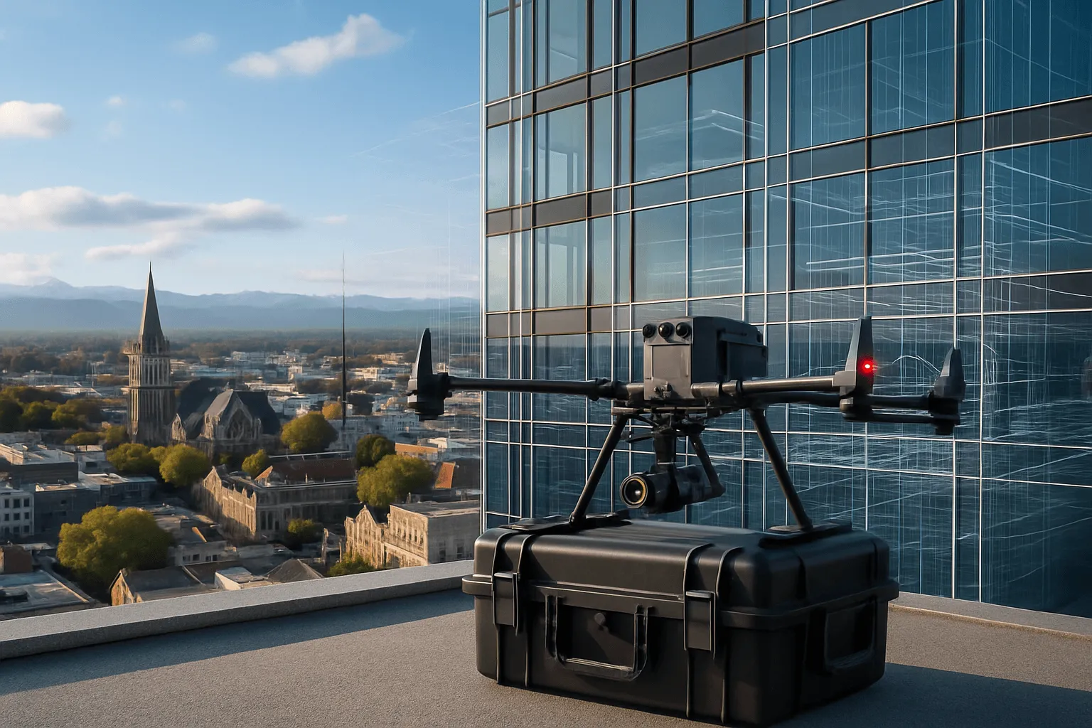
RTK drones, radiometric thermal, aerial and handheld LiDAR. Exterior to interior, all from one team.
DJI M350 RTK
Enterprise drone platform with centimetre-level RTK positioning.
Zenmuse H30T
Radiometric thermal + zoom imaging, detects differences as small as 0.5 °C.
Zenmuse L2 LiDAR
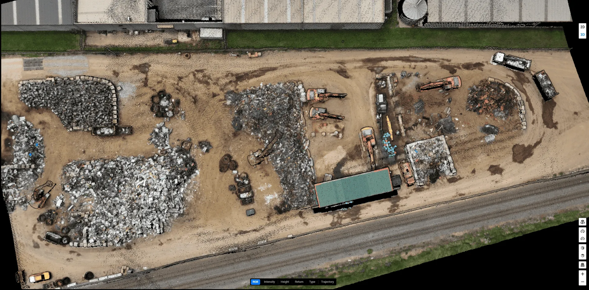
Aerial laser scanning for volumes, terrain and 3D models.
Xgrids Lixel K2
Handheld SLAM LiDAR with RTK: 1 cm relative accuracy, indoors and out.
FLIR handheld
Close-range thermography to verify aerial findings.
Eclipse rovers
Remote rovers for tunnels, ducts and confined spaces.
Our approach
Six steps, every project.
- 01
Understand
We start by understanding your needs, challenges and objectives.
- 02
Plan
Technology, flight patterns, capture parameters and analysis methods are specified up front.
- 03
Execute
Certified pilots capture data with meticulous attention to safety and quality.
- 04
Analyse
Specialist software and industry knowledge turn raw data into meaningful insight.
- 05
Deliver
Clear reports, imagery, measurements and recommendations, useful whatever your technical background.
- 06
Support
We stay available for questions, further analysis and help acting on findings.
Our commitment
What we stand for.
Safety excellence
Protocols that exceed regulatory requirements, and equipment that is maintained and tested regularly.
Technical innovation
We continuously evaluate and adopt technology that improves what we can tell you.
Environmental responsibility
Careful flight planning to avoid disturbing wildlife, and efficient missions that use less energy.
Client success
Measured by tangible outcomes: cost savings, reduced risk and better decisions.
Testimonials
What our clients say
Get a free quote
Ready to experience the Drones At Work difference?
Tell us about your site and we’ll come back with a tailored proposal and a fixed quote. No obligation.
- art@dronesatwork.nz
- Hours
- Monday – Friday, 8am – 6pm Weekend appointments by request
- Based in
- Christchurch, New Zealand Serving the South Island, North Island and beyond