
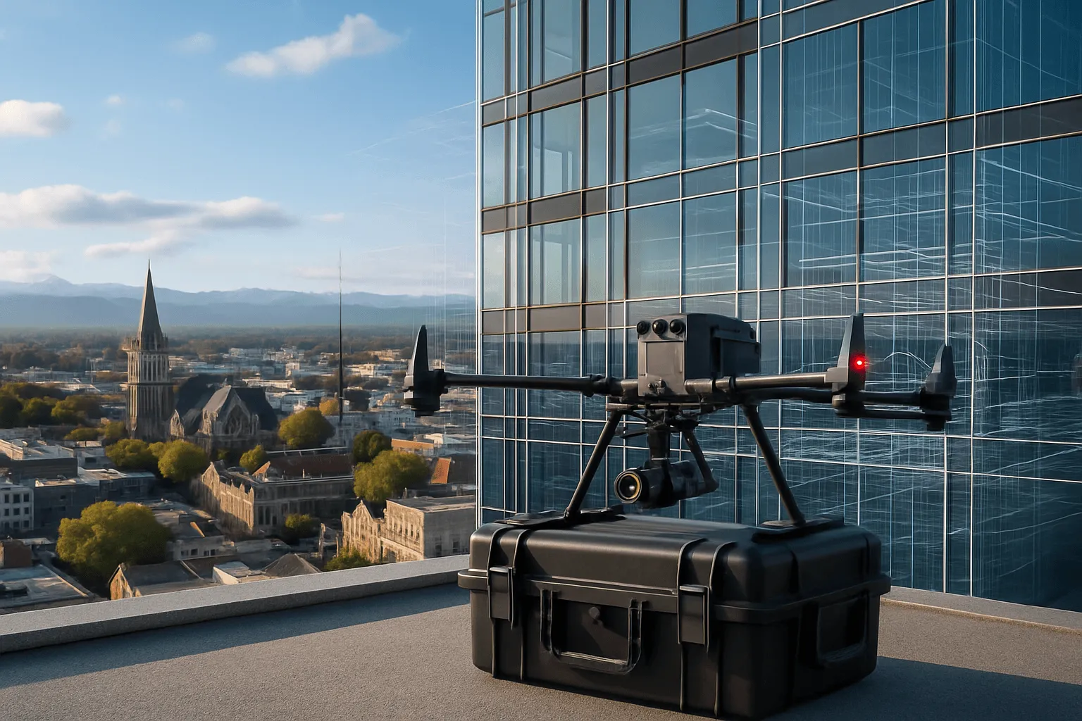
Digital Twins & Building Intelligence
A precise, navigable 3D replica of your building as it is today.
We combine aerial drone surveys with handheld LiDAR scanning to capture every wall, ceiling, floor and structural element in three dimensions, with centimetre-level accuracy. Stop relying on outdated plans.
Spatial Intelligence
What is a building digital twin?
A digital twin is created from real scan data, not drawings or assumptions. Unlike a CAD model, it represents the building as it actually is. Owners use it for maintenance, renovation, lease documentation and insurance baselines. Facilities managers use it to locate concealed services. Architects and engineers start every design from it. Drones At Work delivers complete exterior-to-interior twins from a single team, combining the DJI M350 RTK with the Xgrids Lixel K2.
How it works
A clear process, start to finish.
- 01
Aerial survey
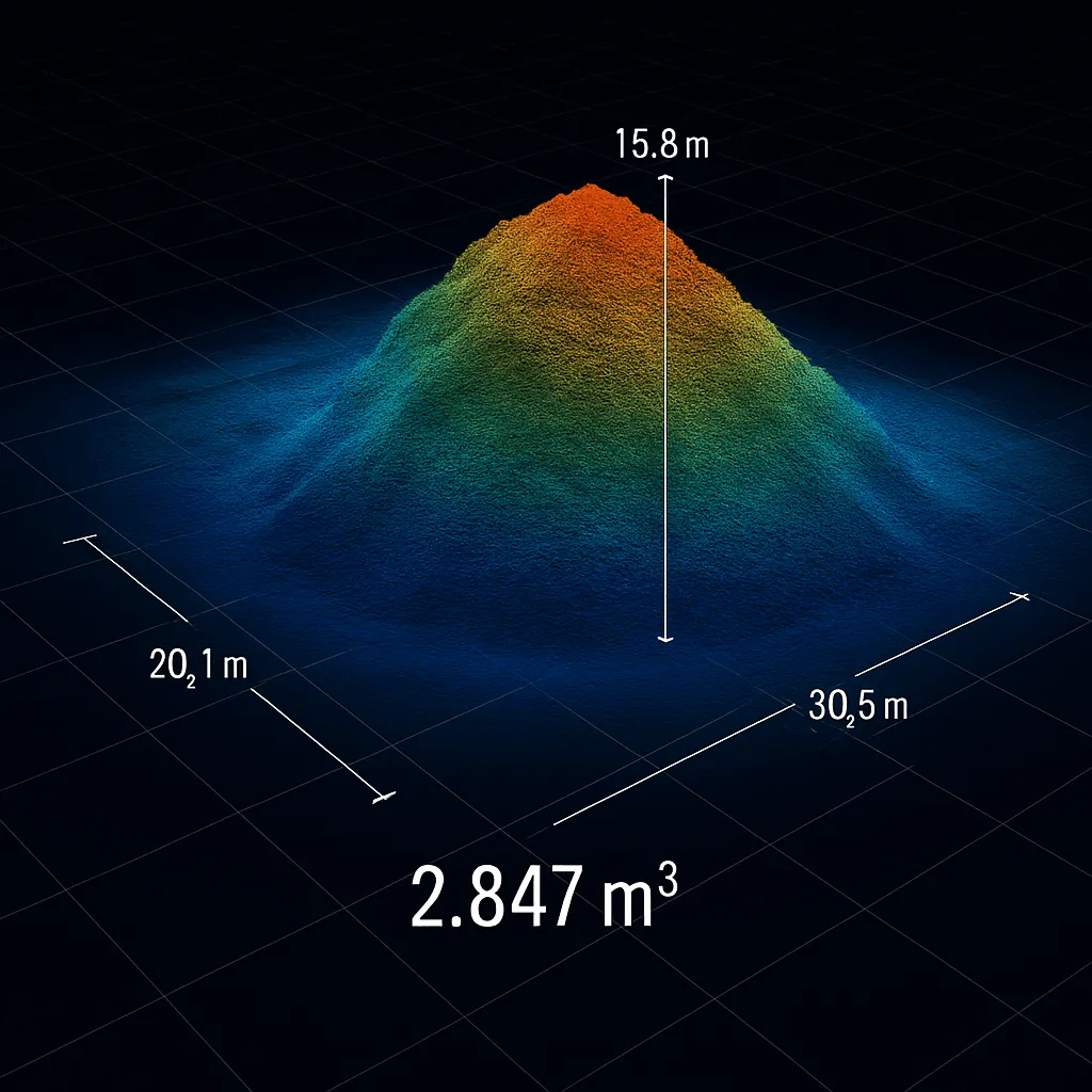
The M350 RTK captures roof, facade and site context with H30T thermal and L2 LiDAR, referenced to NZTM2000.
- 02
Interior scan
The Lixel K2 walks every room, corridor, plant area and ceiling space, building a georeferenced model from inside.
- 03
Data fusion
Aerial and interior datasets are merged into a single coordinate system: one point cloud from rooftop to floor slab, with no gaps.
- 04
Delivery
Point cloud, mesh, floor plans and a shareable web viewer link, with optional 3DGS photorealistic walkthrough.
What you receive
Deliverables you can act on.
- Colourised point cloud (.LAS), survey-grade and NZTM2000 georeferenced
- 3D mesh model, navigable and shareable by web link
- As-built floor plans extracted from scan data, accurate to 1 cm
- Thermal overlay (optional) of wall, ceiling and floor temperatures
- 3D Gaussian Splatting walkthrough (premium option)
- Condition notes and maintenance flags
Why Drones At Work
One team, inside and out
Aerial and interior capture fused in-house, with no hand-offs between providers.
Survey-grade accuracy
1 cm relative, 3 cm absolute, georeferenced to NZTM2000.
Ready for the future
Scheduled re-scans keep your record current as the building changes.
Who it’s for
Who we do this for
Building owners & investors
No accurate as-builts? We scan the building as it stands and deliver a complete 3D record.
Architects & engineers
Design against reality for extensions, alterations and seismic strengthening.
Facilities & asset managers
Know where every pipe, duct, cable and structural element runs.
Insurance professionals
Timestamped, georeferenced pre-event baselines that eliminate disputes.
Portfolio managers
Every building documented in the same format and accuracy.
Related services
Often combined with
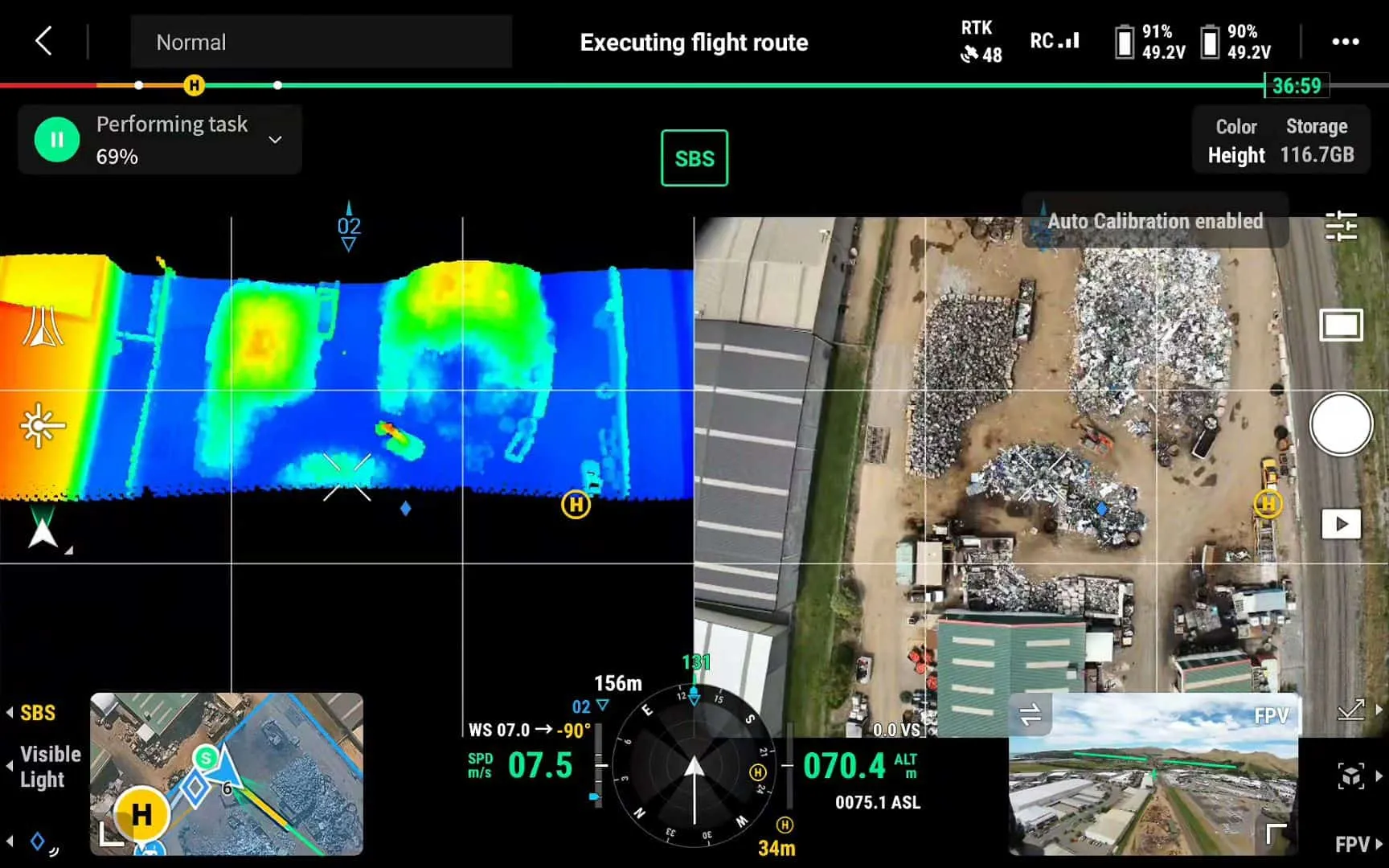
Interior Scanning & Floor Plans
Survey-grade interior scanning for builders, architects, property managers and insurers. Accurate floor plans and 3D models, delivered in hours.
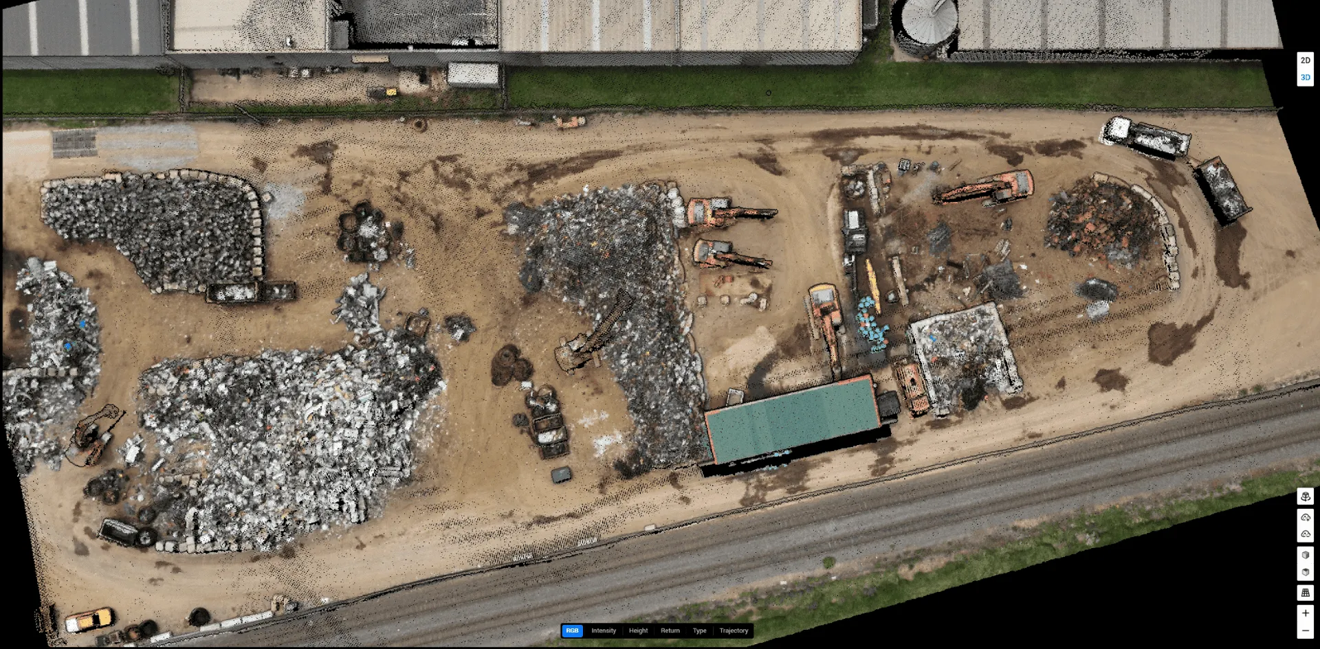
LiDAR Walkthroughs
Photorealistic, measurement-accurate 3D walkthroughs for gyms, showrooms, hospitality and commercial real estate, viewable in any browser.
Scan-to-BIM
LiDAR point cloud to BIM-ready model for architects and engineers. As-built documentation for renovation, seismic strengthening and extensions.
Get a free quote
Ready to know your building inside and out?
Contact us for a digital twin proposal tailored to your building and objectives.
- art@dronesatwork.nz
- Hours
- Monday – Friday, 8am – 6pm Weekend appointments by request
- Based in
- Christchurch, New Zealand Serving the South Island, North Island and beyond