
Regular progress documentation
High-resolution aerial capture at consistent intervals aligned with your programme.
- Site conditions and work progress
- Structural and installation milestones
- Material staging and site access
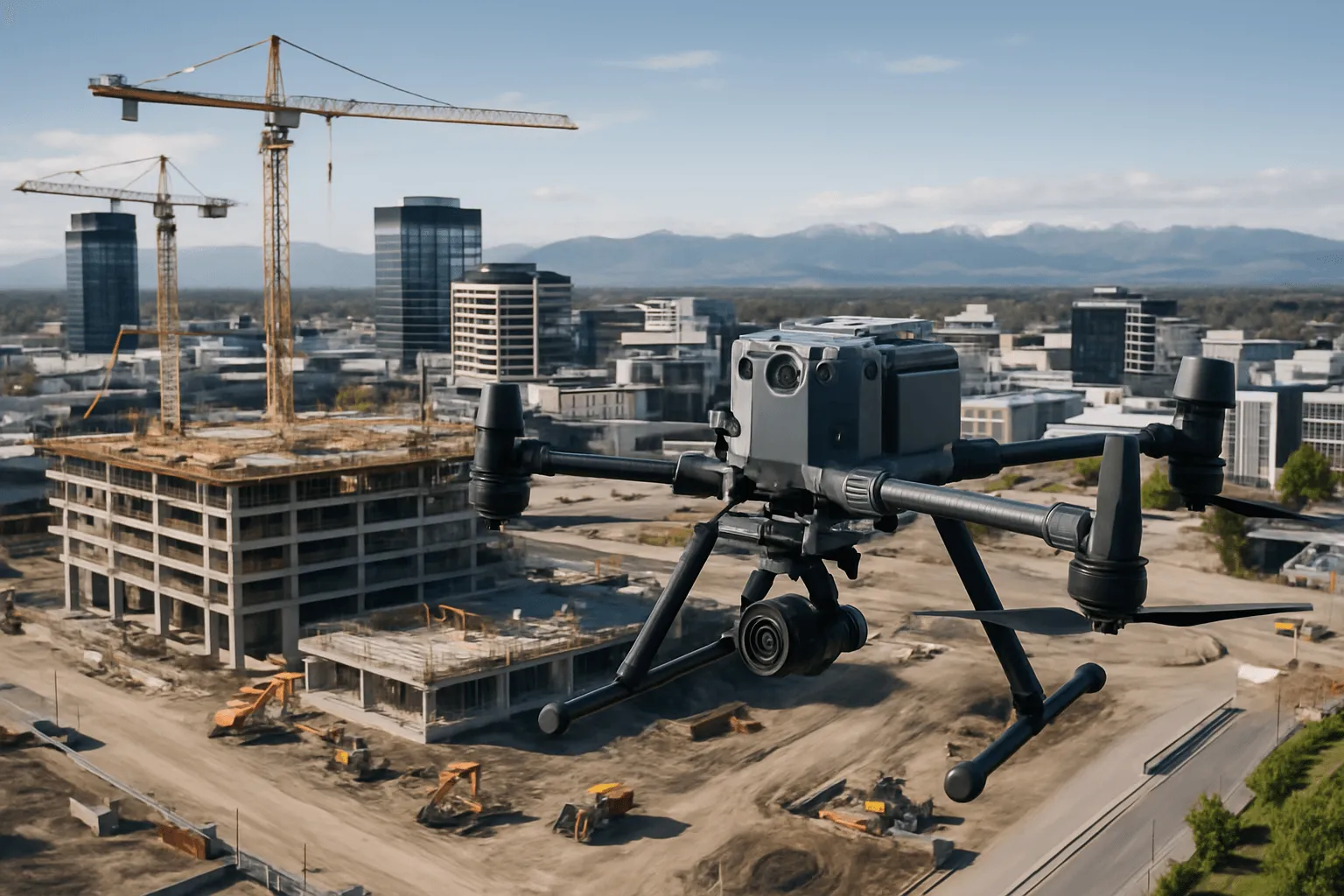
Construction Monitoring
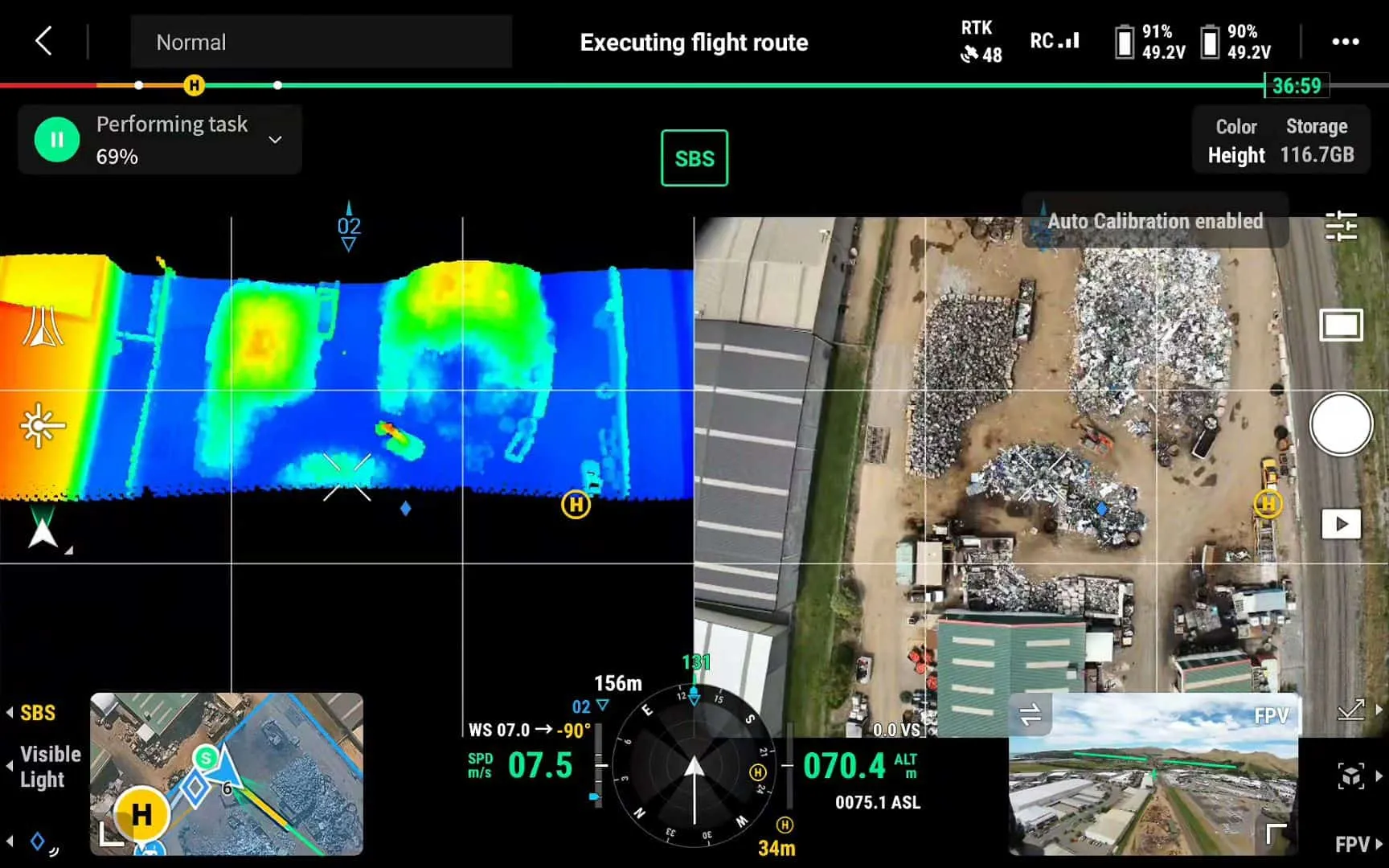
Aerial mapping, LiDAR verification and 3D models at every milestone, then interior scanning as the building closes up. Accurate progress records, verified quantities and a digital twin at completion.
Aerial & Site Services
Construction moves fast. Our monitoring captures every phase consistently and on schedule, so you can verify contractor progress, support payment claims, communicate with stakeholders and resolve disputes with objective evidence. As the project closes up, we move inside with 3D scanning to keep the record unbroken.
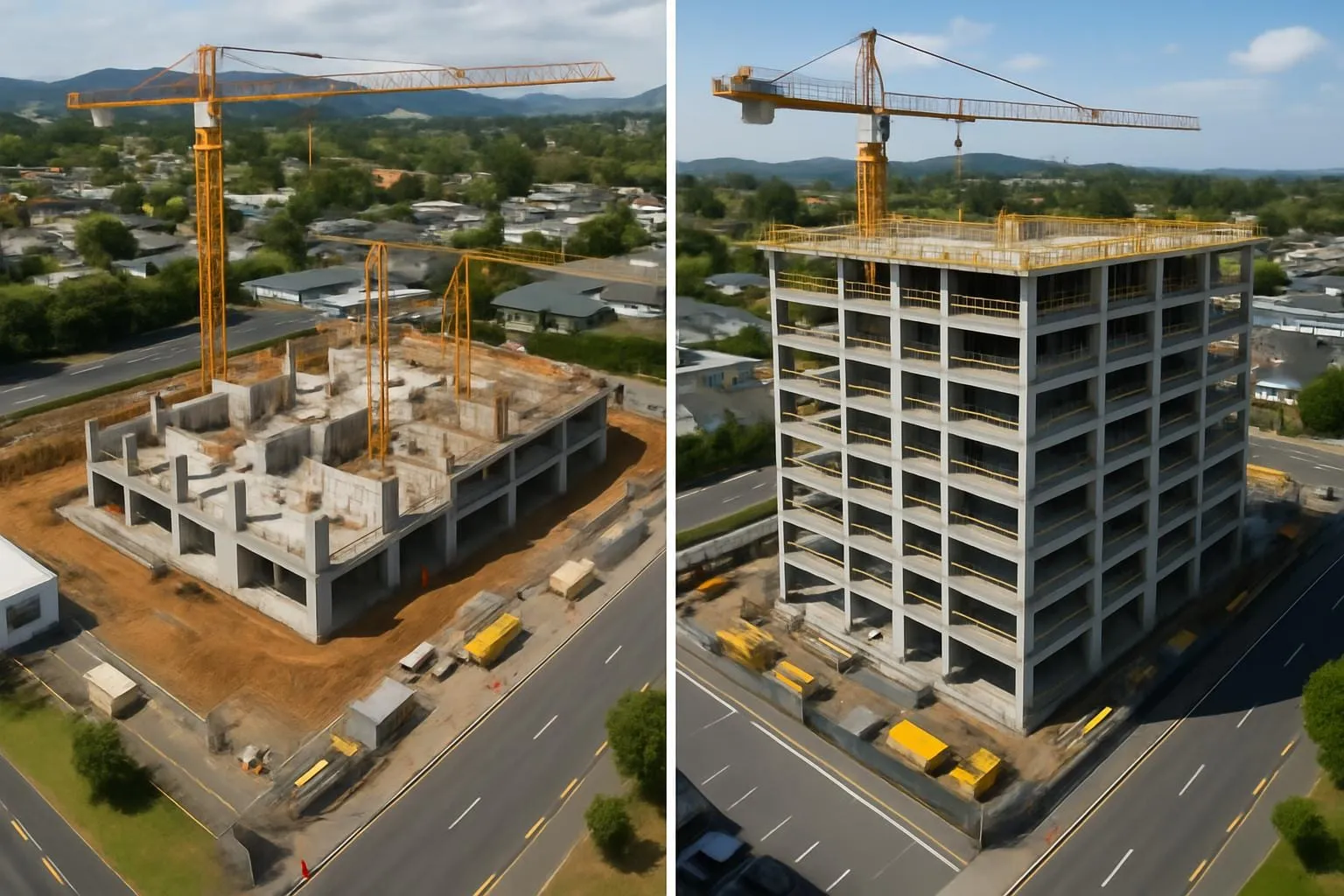
High-resolution aerial capture at consistent intervals aligned with your programme.
Measurable, verifiable data that flags discrepancies before they become disputes.
Georeferenced, measurable site maps and models to compare against design.
As the envelope closes, we capture structure, MEP rough-ins and fit-out progress before linings go on.
Instead of a folder of reports and image files, we can host your project data in a single digital environment that your team, investors or clients can access at any time.
At practical completion we can deliver a combined digital twin: our aerial roof and facade survey registered with interior K2 scans in a single georeferenced model. It captures the building as built, not as designed, including concealed services.
No more wondering what's in the ceiling. No more guessing pipe routes before drilling.
How it works
A monitoring schedule built around your programme, reporting needs and stakeholders.
Existing site conditions captured before work starts.
Consistent capture at each milestone or reporting cycle.
Orthomosaics, models and measurement reports after every visit.
Picks up where aerial leaves off as the building closes up.
What you receive
Why Drones At Work
Standardised capture makes comparisons between phases accurate.
We work around active sites without interrupting trades.
One continuous record, inside and out.
Who it’s for
Investor updates, contractor verification and milestone evidence.
Verified volumes and measurements for progress claims.
LiDAR-verified volumes and as-builts for complex programmes.
A handover digital twin for long-term asset management.
Testimonials
FAQ
It depends on your programme. Typically we align visits with milestones or your monthly reporting cycle and agree the schedule up front.
We can host all project data in a single digital environment with per-user permissions, so managers, QSs and investors each see what they need.
Related services
Drone LiDAR topographic surveys with classified point clouds, bare-earth TIN, contours and DEMs, ready for Civil 3D, 12d, QGIS and other CAD and GIS packages.
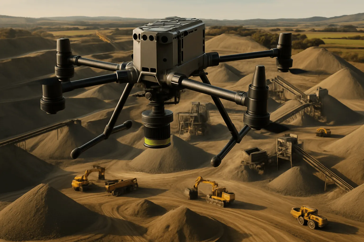
LiDAR volume and area measurement for stockpiles, roadworks and earthworks. Accurate to within 2%, often in a single flight.
Complete exterior-to-interior 3D replicas of your building, combining aerial drone survey with handheld LiDAR. The foundation for every future decision.
Survey-grade interior scanning for builders, architects, property managers and insurers. Accurate floor plans and 3D models, delivered in hours.
Get a free quote
We'll tailor a schedule and delivery format that works for your team and timeline.