
Post-event damage assessment
Storm, wind, hail and impact damage documented in full without anyone on the roof.
- Full roof and facade coverage
- Thermal check for water ingress
- LiDAR measurements for repair scope
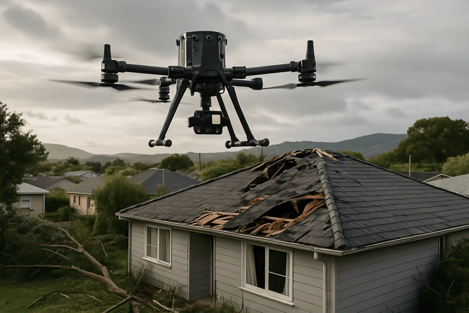
Insurance Assessments
High-resolution imagery, thermal data and LiDAR that accurately document damage to roofs, buildings and assets, plus pre-loss baselines and risk assessments that keep you ahead of claims.
Aerial & Site Services
Our leadership includes insurance loss adjustment experience, so we know what an adjuster needs to see: dated, georeferenced, photographic evidence that separates pre-existing wear from event damage. Drones reach damaged roofs safely and quickly, often the same or next day after an event.
Storm, wind, hail and impact damage documented in full without anyone on the roof.
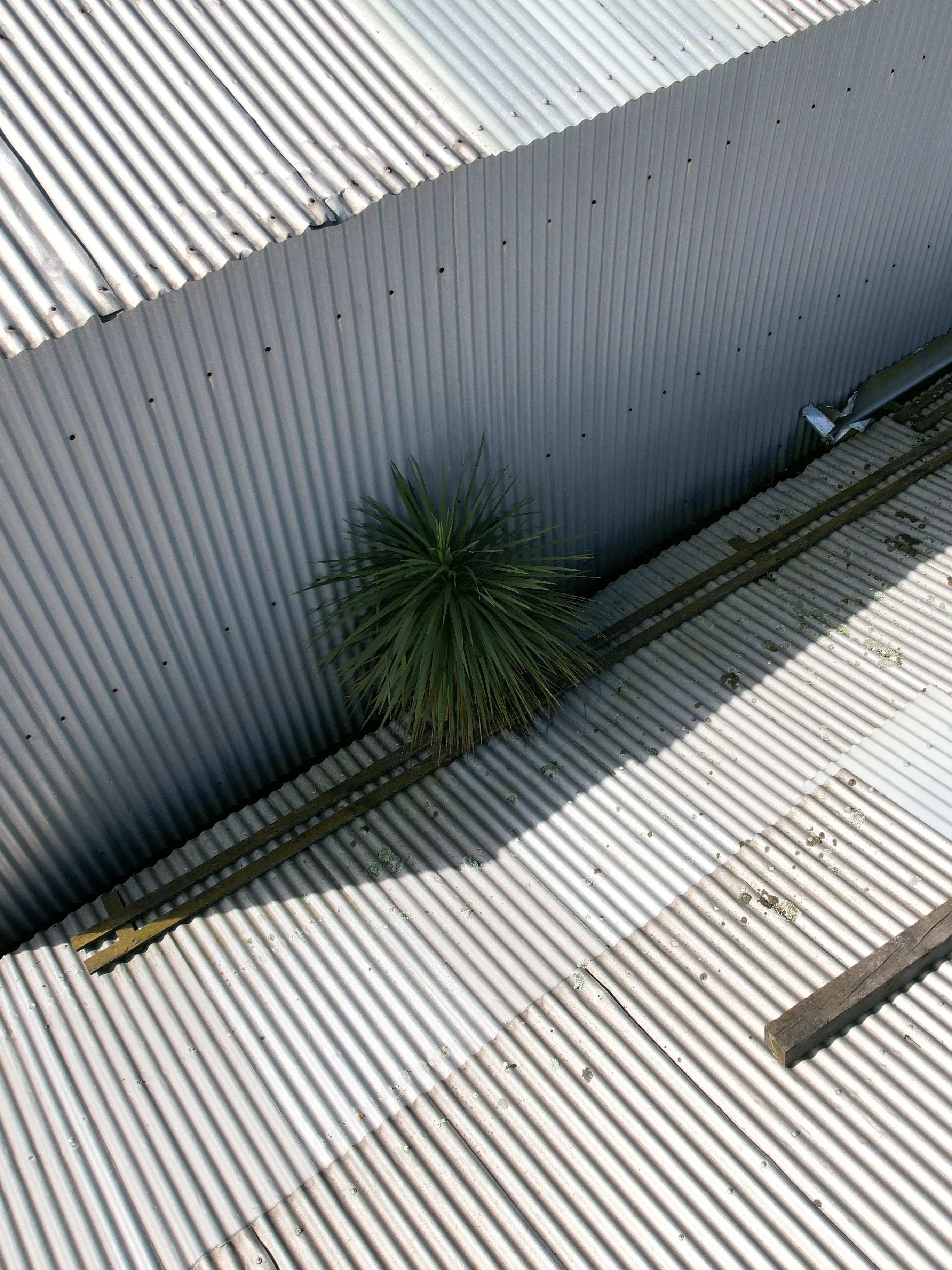
A timestamped record of condition and geometry, before anything happens.
Identify maintenance issues that would undermine a future claim.
How it works
Urgent events are prioritised. Same or next day is often possible.
Visual, thermal and LiDAR data as the claim requires.
An independent, dated report the adjuster can work from directly.
What you receive
Why Drones At Work
We know what evidence a claim needs.
No-one climbs a damaged roof.
Objective data that all parties can trust.
Who it’s for
Fast, objective evidence for desktop assessment.
Documentation to support or defend a claim.
Baseline records across shared buildings.
Testimonials
FAQ
Standard bookings are usually within 3–5 business days. For urgent damage events we prioritise rapid response, often same or next day depending on location and weather.
Often, yes. Check with your insurer. Our reports provide the evidence they need.
Related services
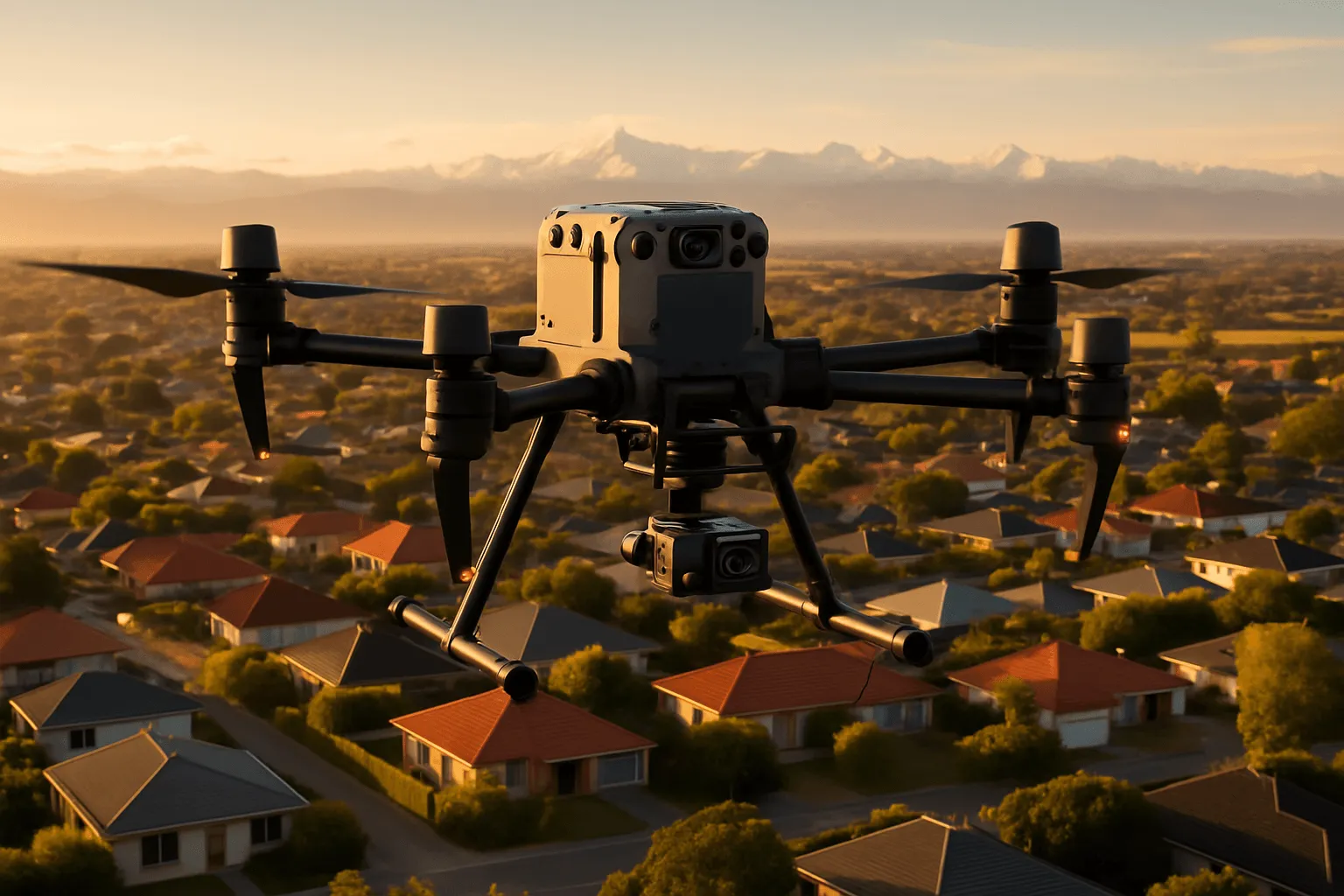
Thermal, LiDAR and visual drone surveys that find leaks, heat loss and defects, with precise measurements for maintenance planning and tenders.
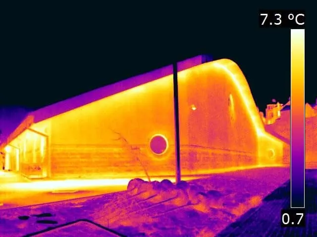
Drone and FLIR handheld thermography that reveals moisture, heat loss, insulation gaps and electrical faults invisible to the eye.
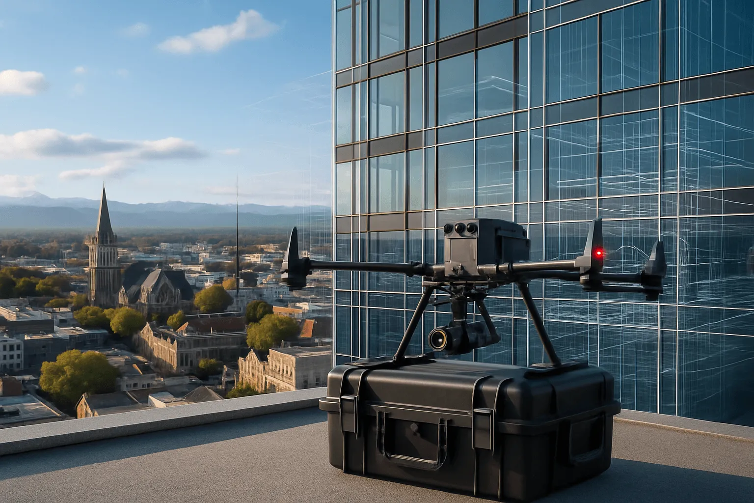
Complete exterior-to-interior 3D replicas of your building, combining aerial drone survey with handheld LiDAR. The foundation for every future decision.
Get a free quote
Call us or send the details. Urgent assessments are prioritised.